
Kihara-jo (Inashiki district, Ibaraki)|Traces of a Moated Village Still Remain?
We can still spot traces of the moats and earthen ramparts here and there…
Hello, this is Shin.
June 5, 2023 (Mon).
Today, I visited Kihara-jo in Hitachi Province (present-day Ibaraki Prefecture) 🚙
It is said to have been the residence of the Kondo clan, retainers of the Toki clan,
though many details about this castle site still remain unclear.
◉ Castle Type
Hilltop Castle ( Hirayamajiro:平山城 )
◉ Cultural Heritage Highlights
◉ Defensive Features & Fortifications
◉ Exploration Difficulty
🔰 Easy Castles
◉ Estimated Time to walk around
: about 30 minutes
◉ Parking
There is a parking area at the castle ruins park with space for around 10 cars.
Although Kihara-jo is classified as a hirayama-style castle (castle built on a hill in flatland),
as noted in various online sources,
its layout is rather unusual, with the elevation gradually decreasing from the Third Enclosure to the Second Enclosure and finally to the Main Enclosure.
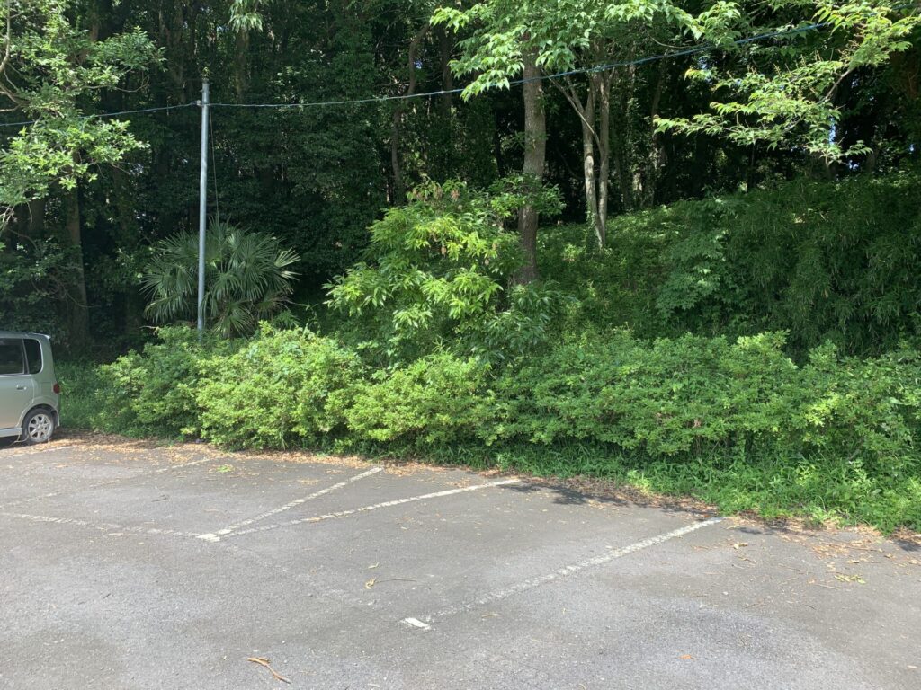
This is the parking lot at the castle ruins park.
There is a slight rise behind the parked cars, which is likely the remains of an earthen rampart…
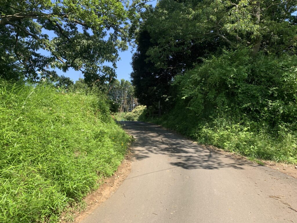
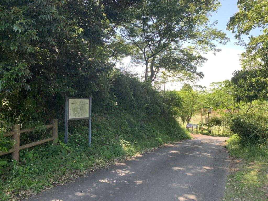
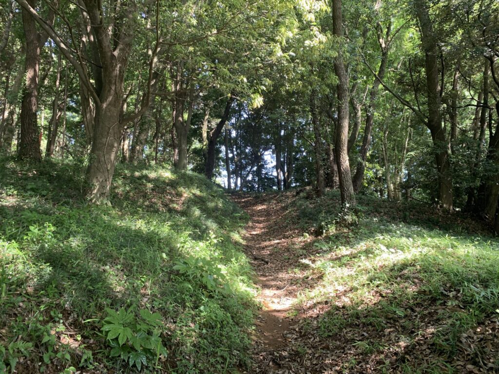
After getting out of the car and walking along the road opposite the park,
you eventually come upon a path that appears to be enclosed by earthen ramparts.
Just as I thought!
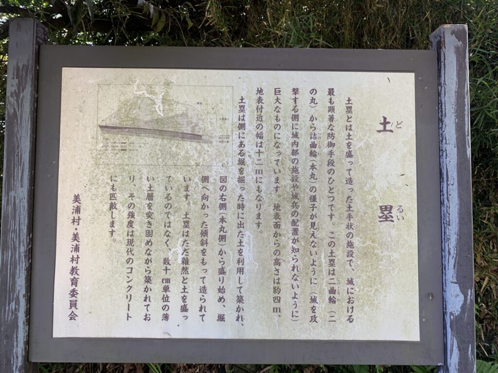
Explanatory signboards like this, detailing the castle’s defensive structures, are always greatly appreciated.
In the case of Kihara-jo, the earthen ramparts seem to have served not only as defensive structures, but also to conceal the inside of the castle from outsiders.
Considering that the elevation decreases as one approaches the Main Enclosure, it makes perfect sense that the ramparts would have played such a role.
I took this photo from a short distance away.
You can clearly see the remains of the earthen rampart.
The area around the signboard is noticeably elevated.
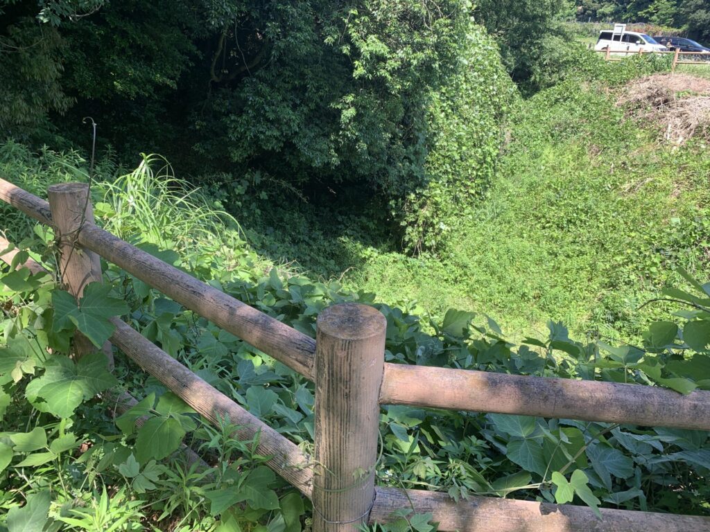
And when speaking of earthen ramparts, moats naturally come as part of the set.
They were dug deep to prevent enemy soldiers from entering the castle grounds.
It may be difficult to tell from this photo,
but the ground slopes downward from the foreground toward the back, forming a deep depression in the earth.
Looking out over the surroundings from the top of the watchtower
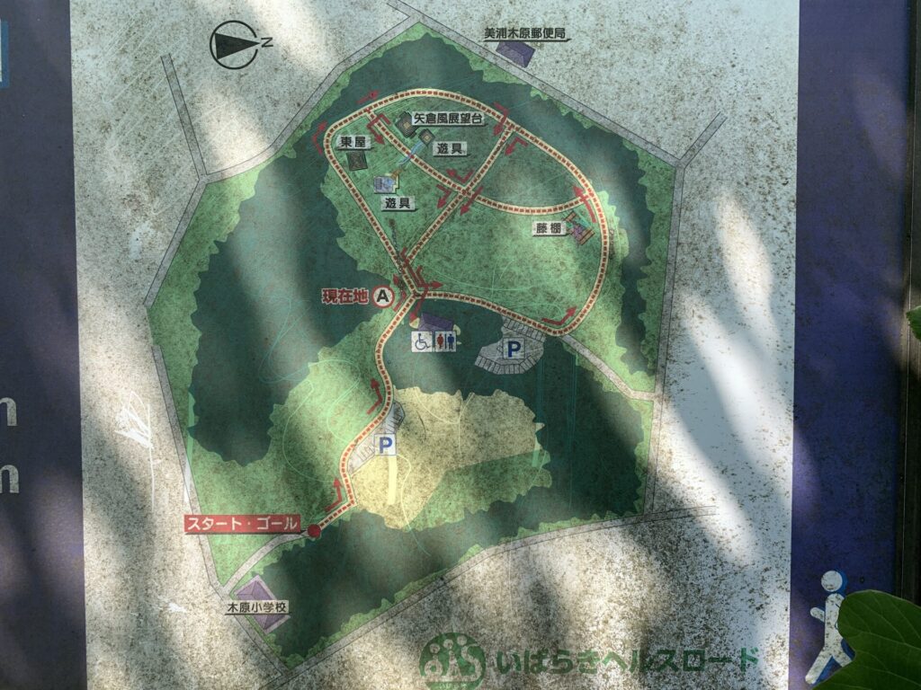
After heading back along the path, I next began exploring the park itself.
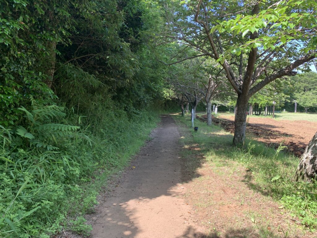
This time, I decided to go around from the left side.
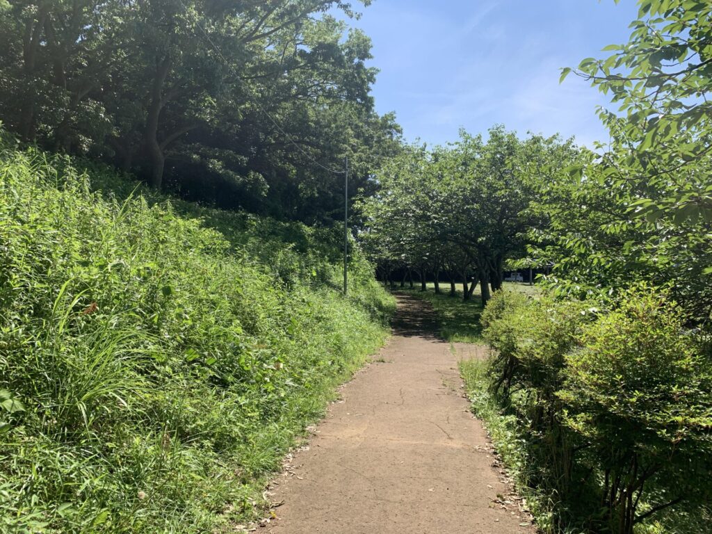
This path runs around the edge of the park.
The embankment on the left is probably also the remains of an earthen rampart.
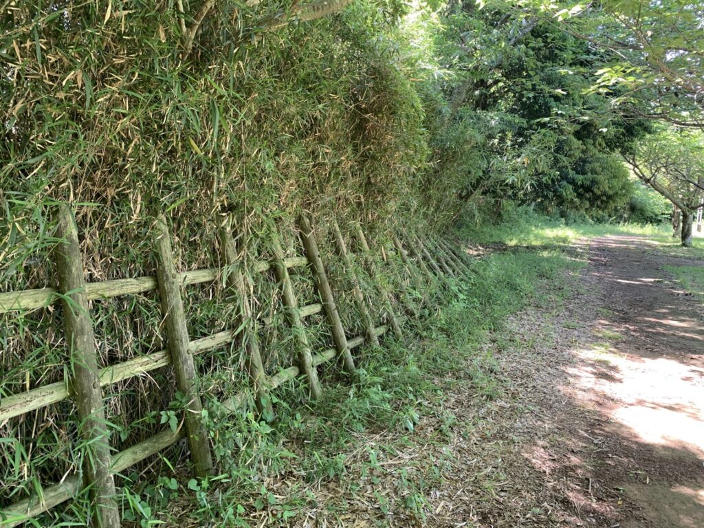
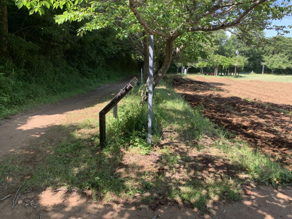
Along the way, I also came across something resembling a wooden fence like this.
It somehow feels like it may not be entirely unrelated to the original castle structures of the time…
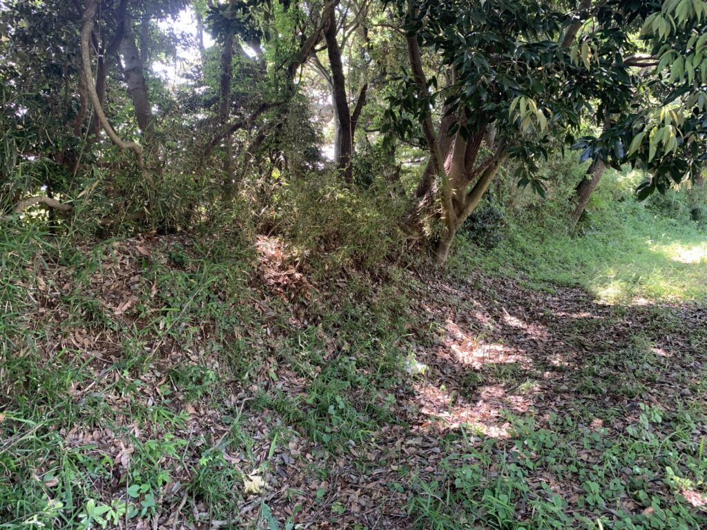
As I continued along the path,
I came across slightly elevated areas like the one in the photo.
These are probably also remnants of the earthen ramparts.
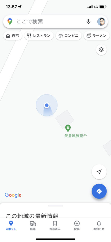
After visiting so many castle ruins,
I’ve started getting pretty good at using Google Maps 😅
Leaving the path for a moment, I decided to head over to a nearby watchtower-style observation deck(矢倉風展望台).
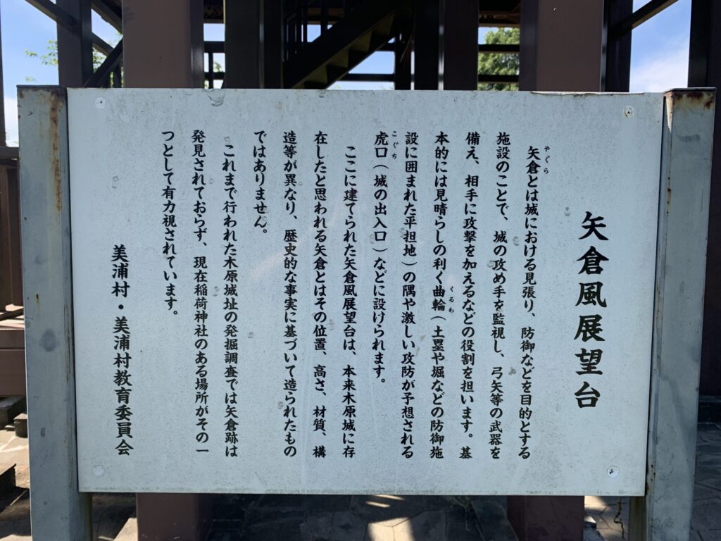
There was another explanatory signboard here as well.
A yagura(矢倉), or watchtower, was exactly the kind of defensive structure used to spot approaching enemy troops from above,
and from which arrows could also be fired.
This observation deck does not appear to be an original yagura from the castle’s time, but I decided to climb it anyway.
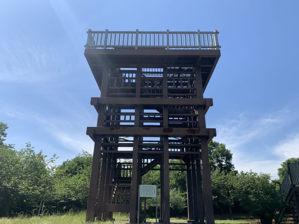
Seen from a short distance away,
you can really appreciate just how tall it is.
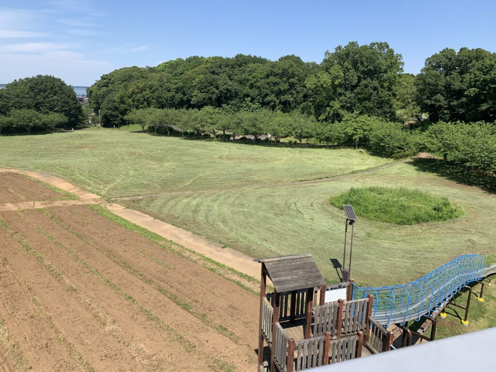
I climbed up to the observation deck and took a photo from above.
In the foreground, there are playground structures for children.
This entire open area was likely once the site of the Honmaru(本丸:main enclosure).
Since the observation deck stands fairly high,
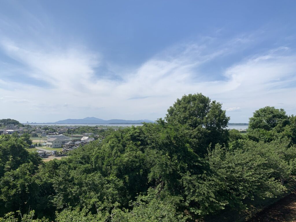
you can enjoy a wide view stretching far into the distance.
It may be a little difficult to see in the photo, but you can make out Lake Kasumigaura(霞ヶ浦) in the distance.
It is said that this site was once a moated village in ancient times!
After climbing down from the observation deck,
I continued along the path surrounding the park once again.
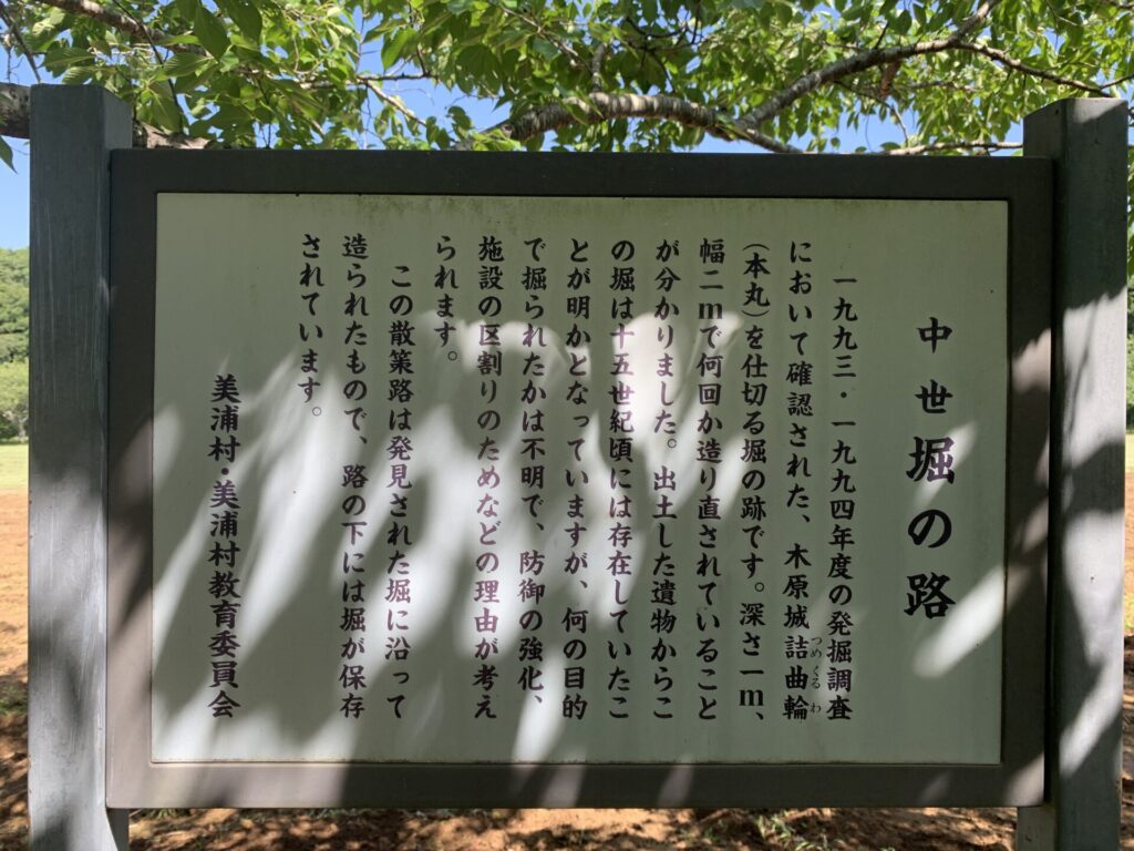
It seems that even within Kihara-jo, moats once surrounded the Honmaru(本丸:main enclosure).
However, it is difficult to identify any remains clearly recognizable as moats today.
I continued further along the path surrounding the park.
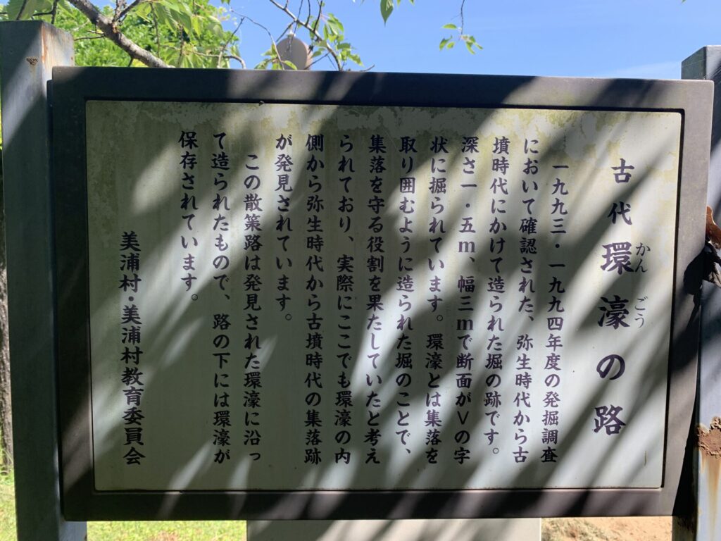
Interestingly, the path I am walking on now was apparently built along the Kangou Syuraku(環濠集落:remains of an old moated village).
When we think of moated villages, they are typically circular settlements from the Yayoi period,
surrounded by moats and fences built by communities seeking to protect their own territory.
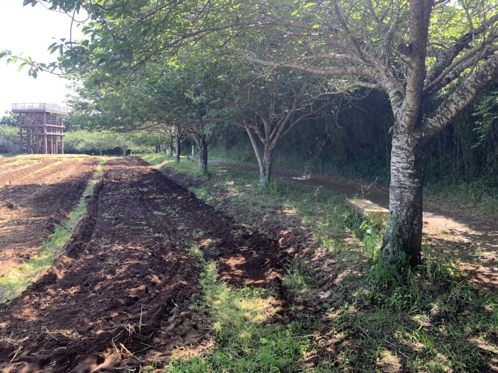
I still could not find any remains that clearly looked like moats here either,
but there are certainly areas where the ground dips slightly.
This entire park area was probably once part of the settlement.
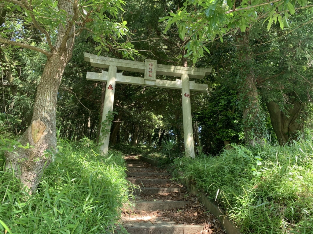
After taking a look around the Inari Shrine, I headed home.
After walking around this far,
I had not come across any particularly notable defensive structures other than the moats and earthen ramparts,
so I decided to visit an Inari Shrine(稲荷神社)located a short distance away from the castle ruins.
This Inari Shrine stands just a little off the path running through the park.
After climbing the stone steps of the shrine,
I followed this path deeper inside.
Looking at this photo alone, it almost feels as if I am walking through a mountain castle.
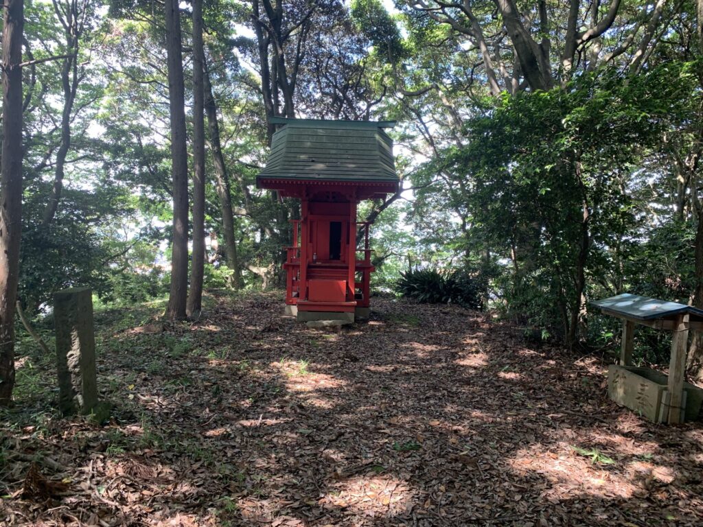
As I made my way farther in, I came across what appeared to be a small shrine.
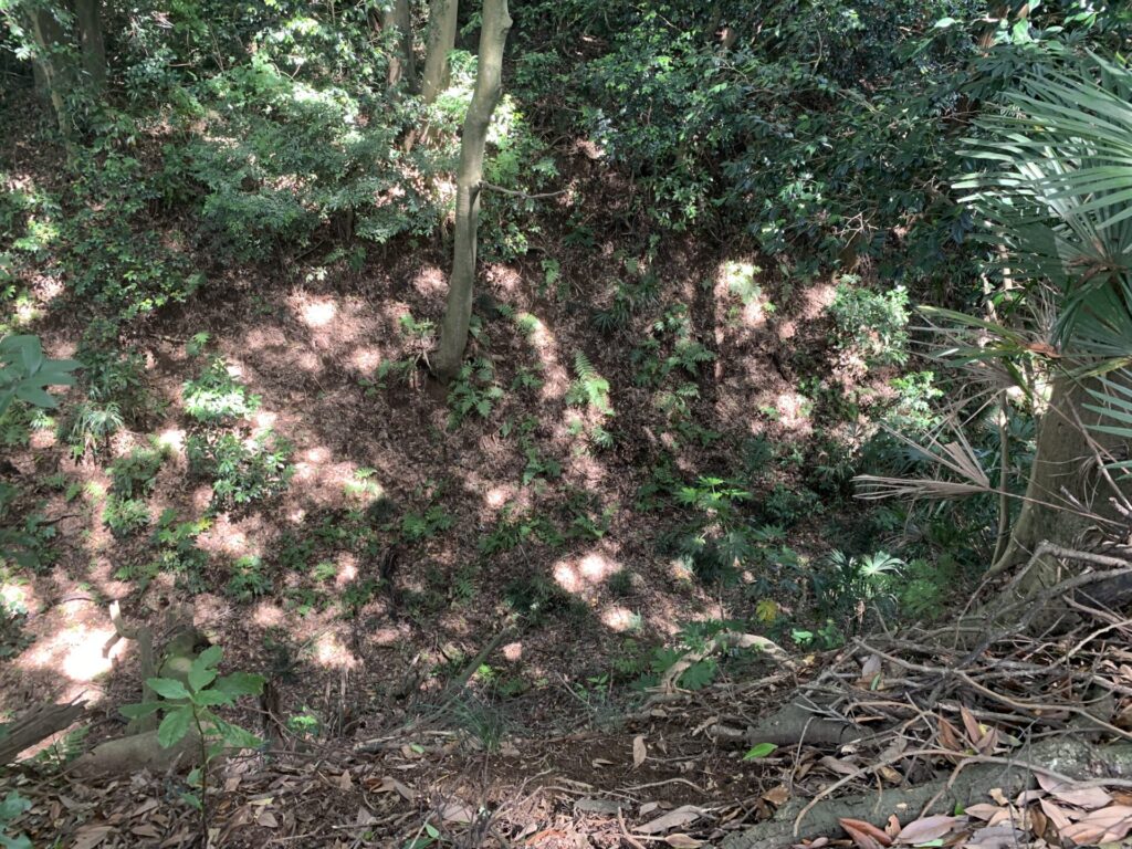
This photo may also be a little difficult to make out,
but below the mountain path where the shrine stands lies a deep moat-like depression.
Much about the history of Kihara-jo remains unclear,
and aside from a few moats and earthen ramparts, there were not many visible defensive structures left to explore.
So, as a castle ruins visit, it felt a little lacking in some ways.
Still, being able to confirm traces of an ancient moated village made the trip worthwhile.
After all, one of the true joys of exploring castle ruins is stumbling upon unexpected discoveries.
See you again!!