Mangi-jo (Isumi city, Chiba)|A Castle Ruin with a Reconstructed Keep, Yet Still Full of Mysteries…
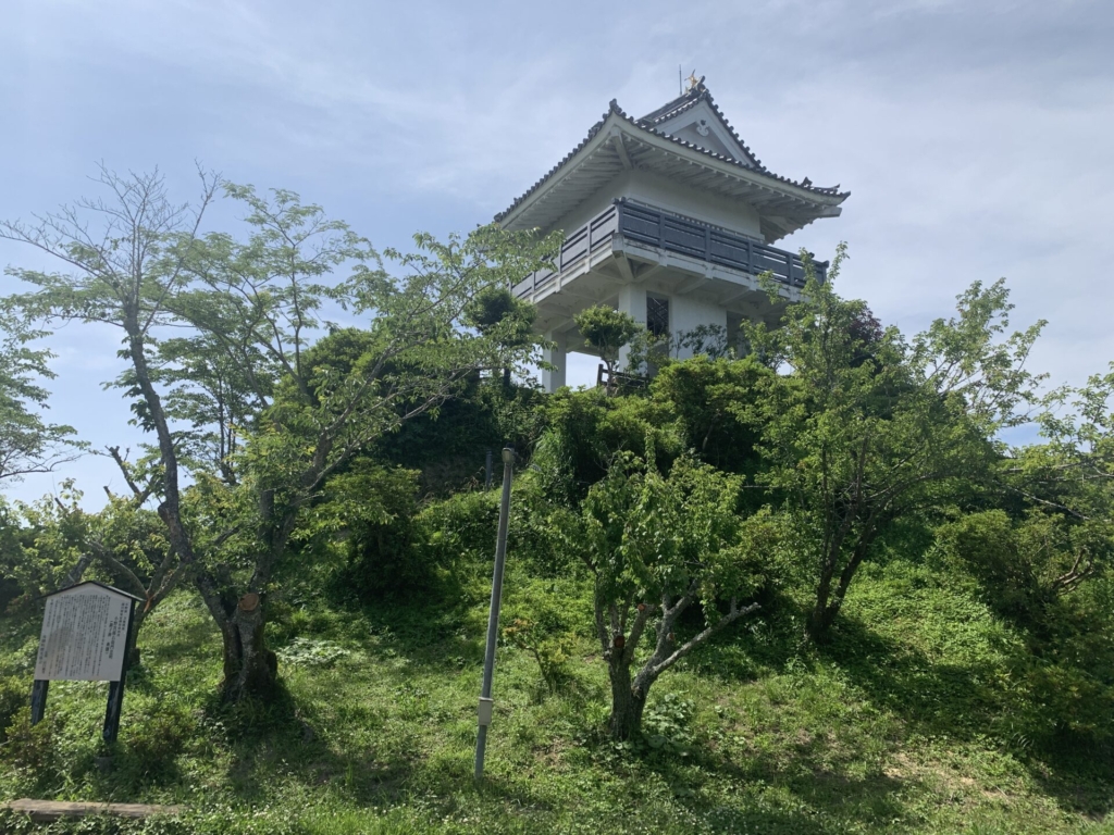
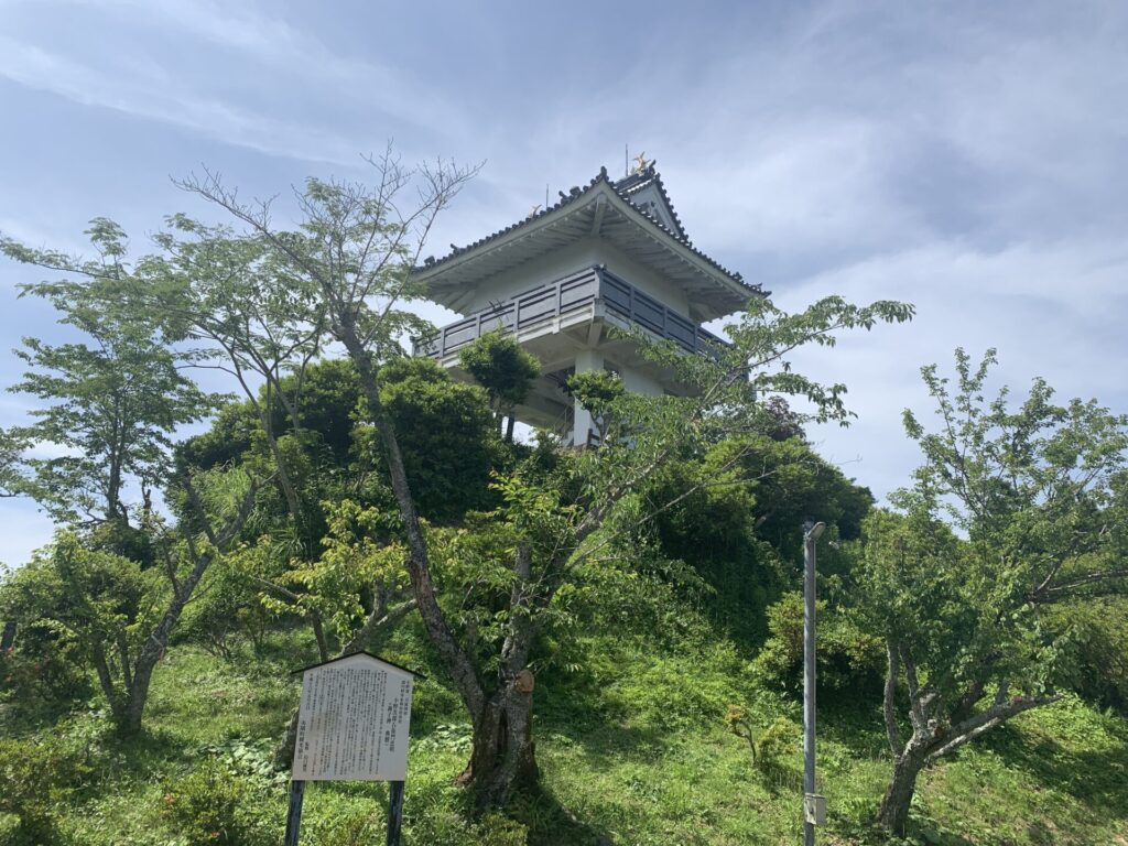
The reconstructed keep can be seen from a distance, making it easy to pinpoint the location.
Hello, this is Shin.
May 27, 2023 (Saturday).
Following my visit to Ōtaki-jo earlier that day,
I headed next to Mangi-jo, located in the same Kazusa region (Isumi City, Chiba) 🚙
◉ Castle Type
Hilltop Castle ( hirayamajiro:平山城 )
◉ Cultural Heritage Highlights
◉ Defensive Features & Fortifications
◉ Exploration Difficulty
🔰 Easy Castles
◉ Estimated Time to walk around
: about 30 minutes
◉ Parking / Access
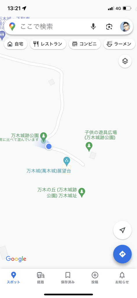
There is a small parking area at “Mangi-jo Lower Parking Area”, with space for about 3 cars.
It’s about a 5-minute taxi ride from Kuniyoshi Station on the Isumi Railway.🚃
As you can see on Google Maps, it is labeled as “Mangi Castle.”(万木城)
This castle is also known by other names, such as Mangijō(満喜城) and Mankijō(万騎城).
While it is possible to drive all the way up to the top of Mangi Castle Ruins Park, it’s probably safer to park at the “Mangi-jo Lower Parking Area,” where there are also public restrooms available.
As you follow your navigation and drive along,
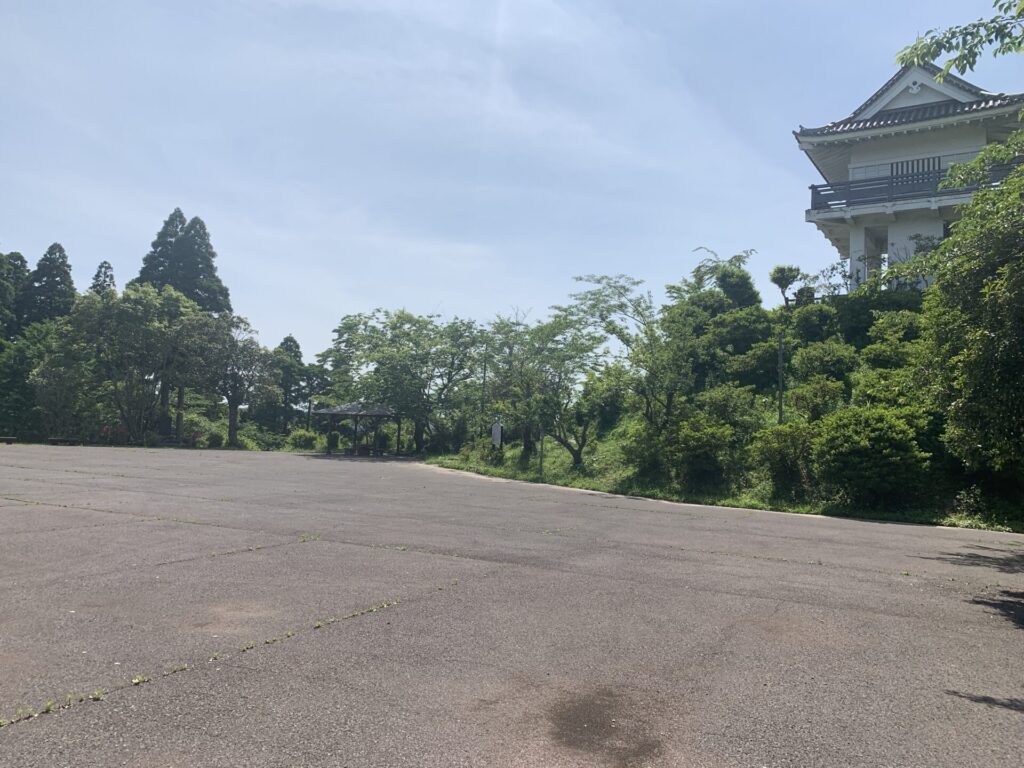
you can spot the reconstructed keep even from a distance, as you can see.
In that sense, having a reconstructed keep makes it easy to locate the site, which is quite helpful.
It also serves as a kind of symbolic presence for the castle itself…
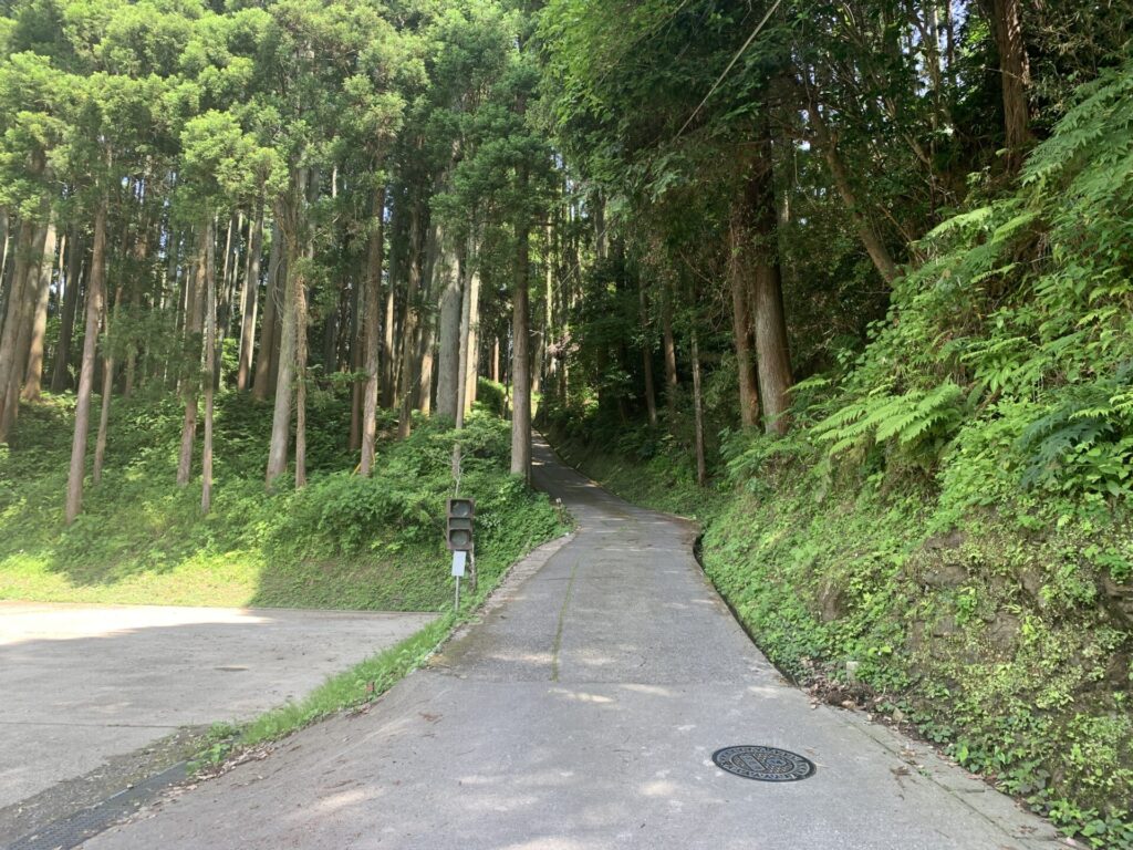
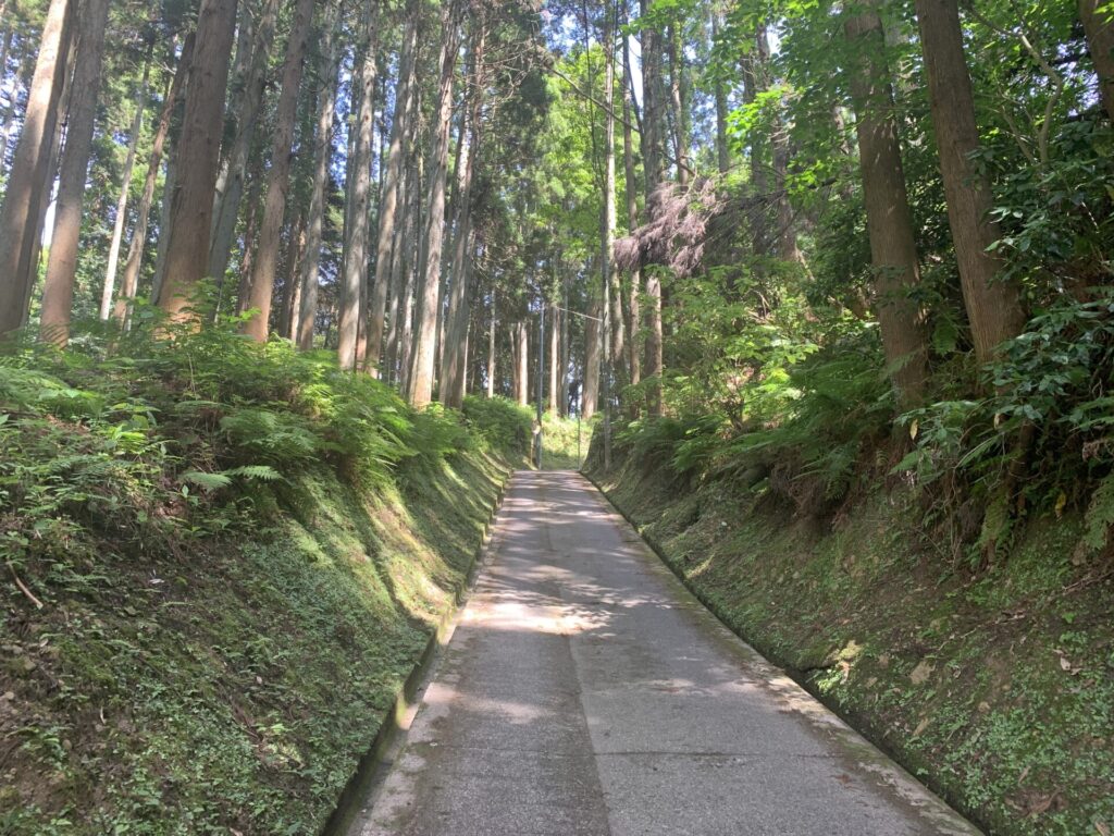
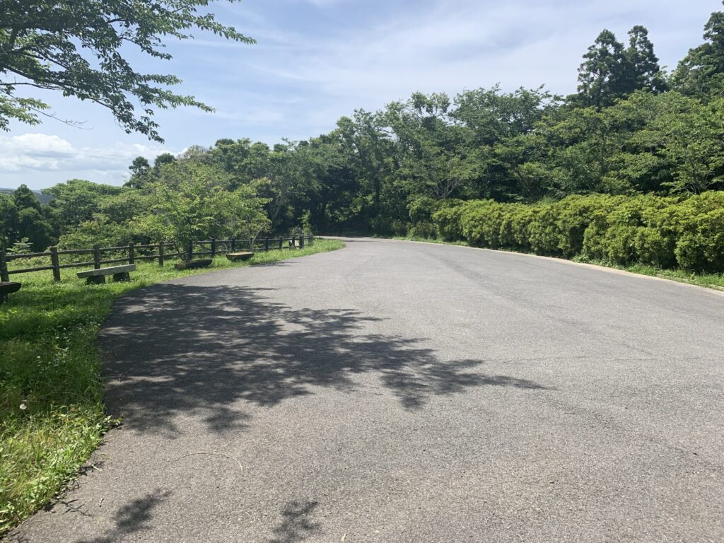
As you get closer to the castle ruins park,
the road gradually becomes narrower and steeper—as usual.. 😅
This is the “Mangi-jo Lower Parking Area” I mentioned earlier, the one with public restrooms.
It’s located about halfway up the mountain road.
From here, we’ll get out of the car and continue on foot.
(That said, this castle site is more like a hilltop castle, so the elevation isn’t particularly demanding.)
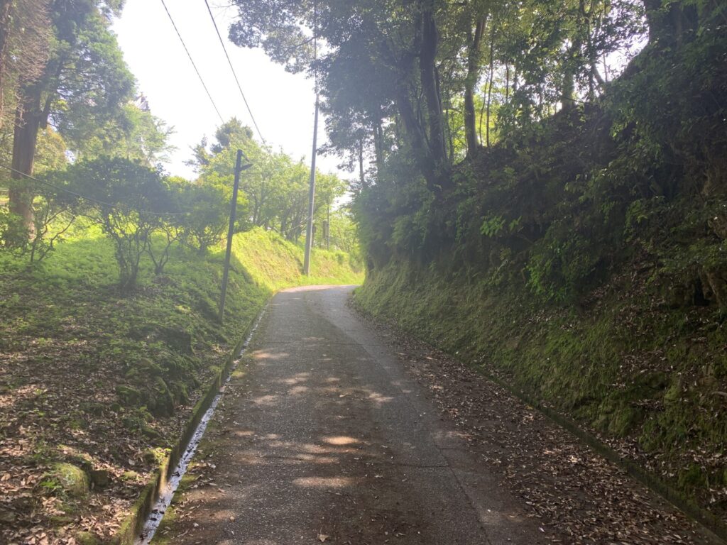
The road is so narrow that only one car can pass at a time,
but it seems you can drive all the way to the top. 🚙
(There was even a simple traffic signal set up near the parking area.)
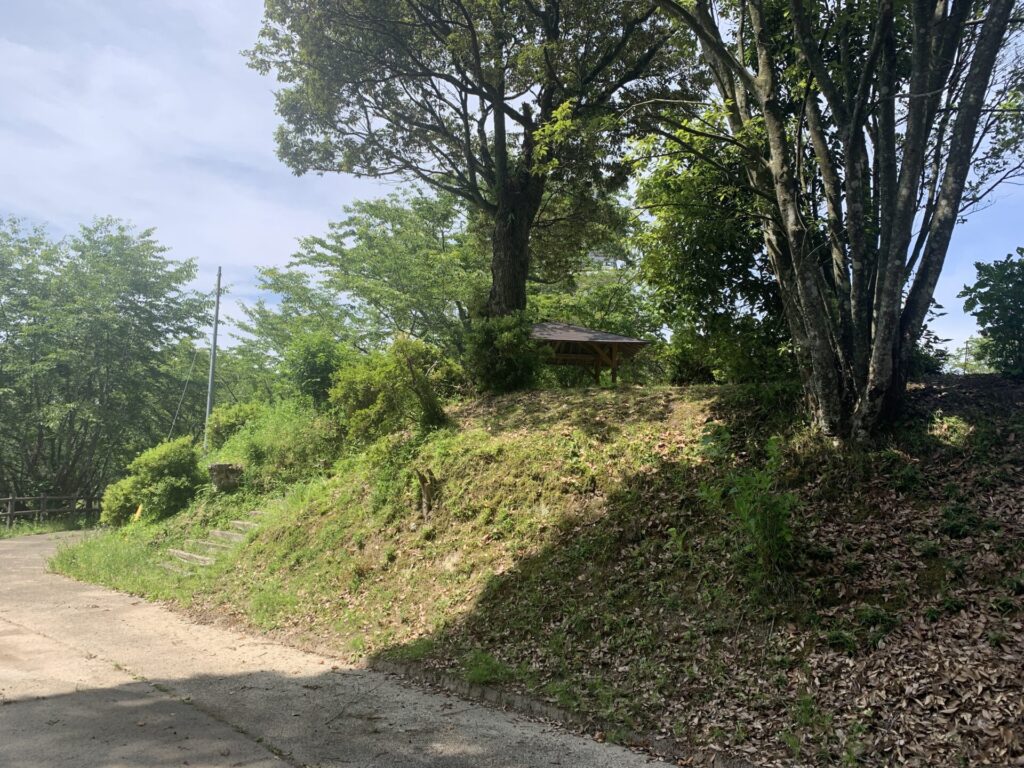
After walking for about a minute, the summit quickly comes into view.
It really isn’t much of a distance at all.
Let’s take another look on Google Maps…
Aside from the observation deck, there don’t seem to be any obvious defensive structures or visible remains of the castle.
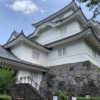
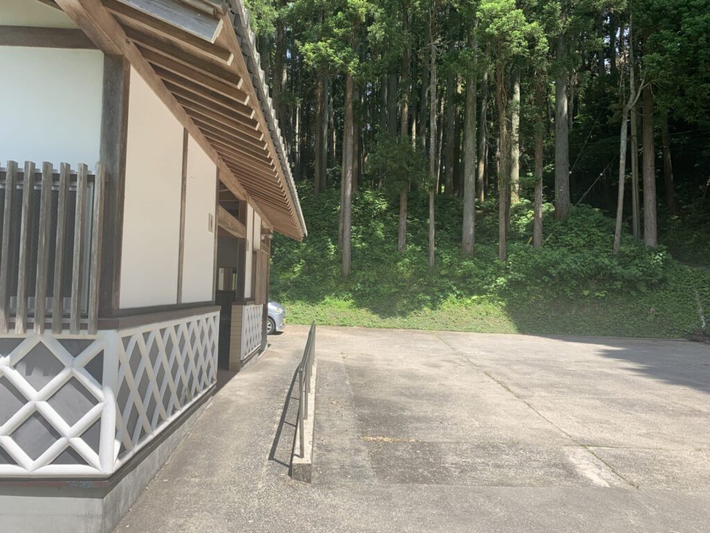
I’ve made it to the very top.
As you can see, there’s plenty of space here to park a car as well.
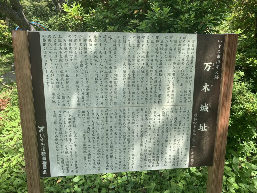
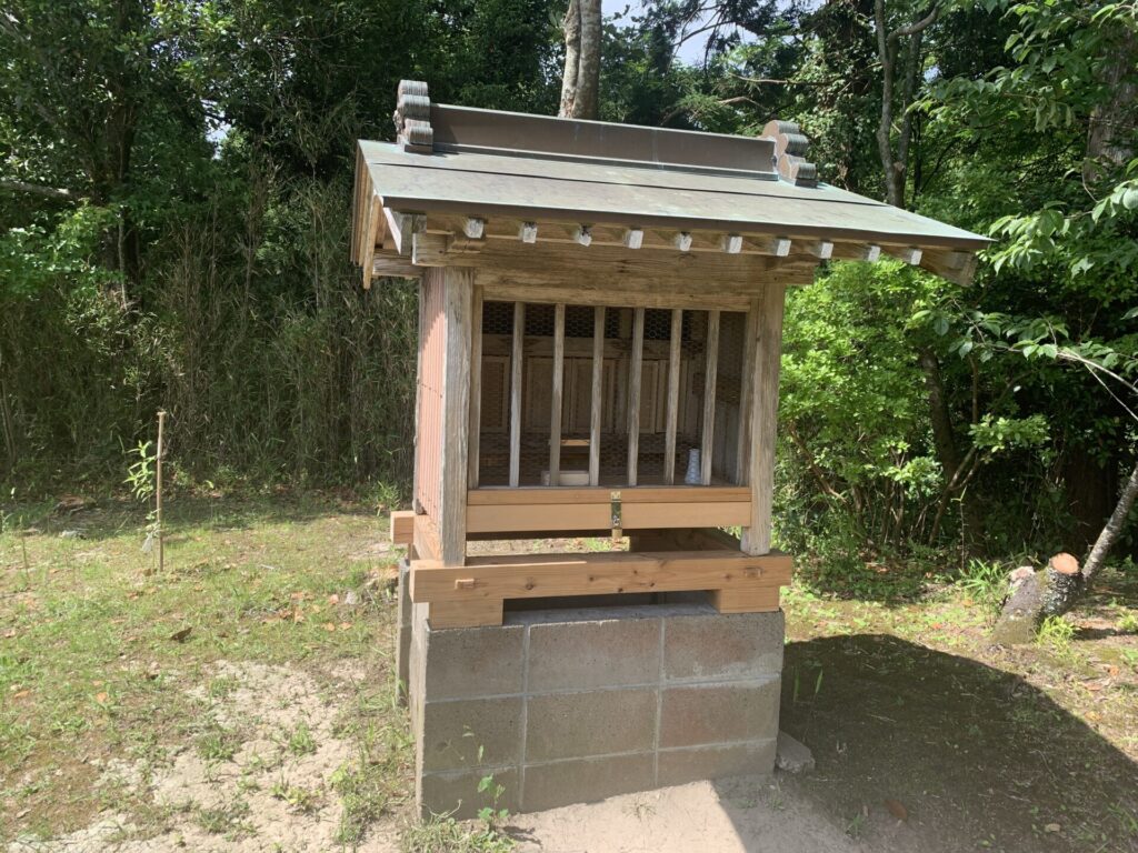
There is an information board nearby like this.
It explains that during the Sengoku period, the Toki clan ruled this castle,
serving as a frontline base for the Later Hōjō clan in Kazusa.
After the fall of the Hōjō clan, Tokugawa Ieyasu’s retainer, Honda Tadakatsu, entered the castle.
However, once Tadakatsu moved to Ōtaki-jo, the site was eventually abandoned.
As for this castle’s defensive layout,
it appears to have been surrounded on three sides by the Isumi River (you can confirm this on Google Maps as well).
It was also composed of three enclosures (kuruwa) centered around the main enclosure.
…However, since there are no clear information boards beyond this,
we can only make educated guesses.
That said, this elevated area here can likely be identified as one of those enclosures.
It was also a place associated with the Ono-ha Ittō-ryū of swordsmanship!!
If we assume that this elevated area we’re standing on is one of the kuruwa (曲輪:enclosures)…
then where are the remaining enclosures…?
For now, let’s take a look around the surroundings…
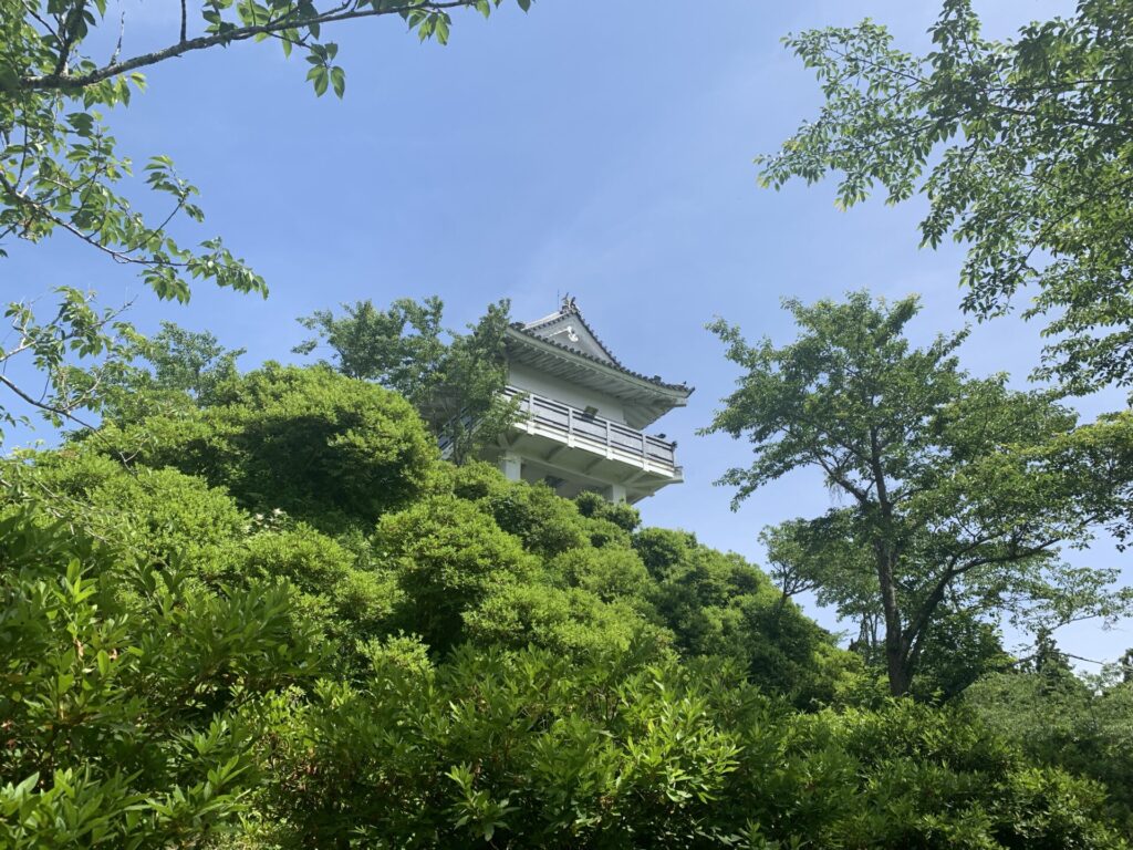
Right above us stands the reconstructed keep.
For now, let’s head up.
Please take a look at the video showing the climb from this elevated area to the very top of the reconstructed keep.
Given the size of this elevated area,
it’s reasonable to consider it as one of the kuruwa (曲輪:enclosures).
The view from the top of the reconstructed keep is also quite impressive.✨
Looking in the opposite direction from where we just climbed,
there’s a wide open space—so that area is likely the second kuruwa.
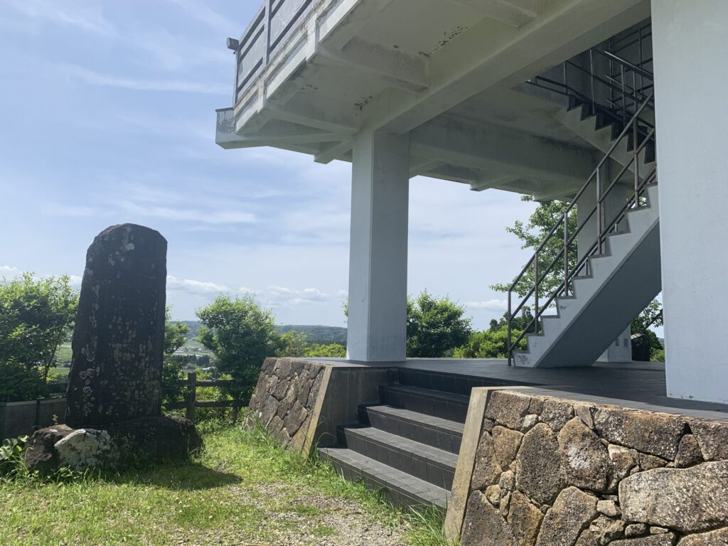
There was also a stone monument standing near the reconstructed keep.
However, the inscription is too weathered to be clearly read.
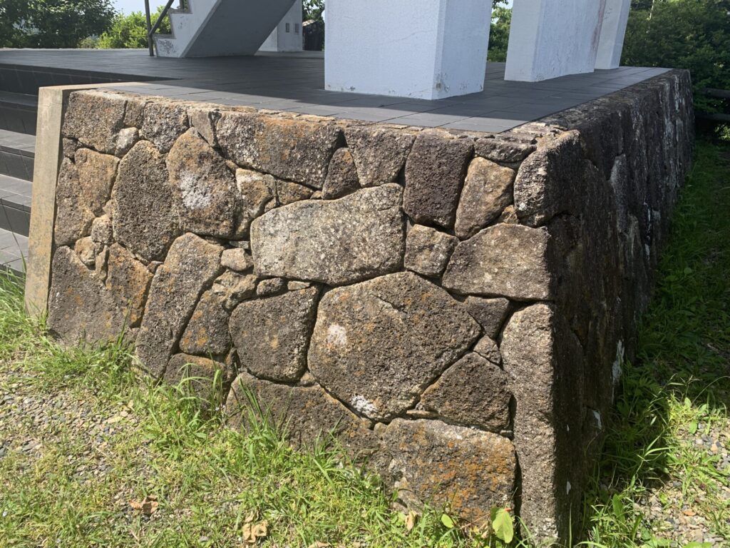
There are also stone walls here, with irregularly sized stones and smaller packing stones in between…
However, they are likely not original.
(The structure looks a bit too neatly arranged…)
From the top of the observation deck,
let’s head down this time to the area on the opposite side—likely one of the kuruwa (enclosures).
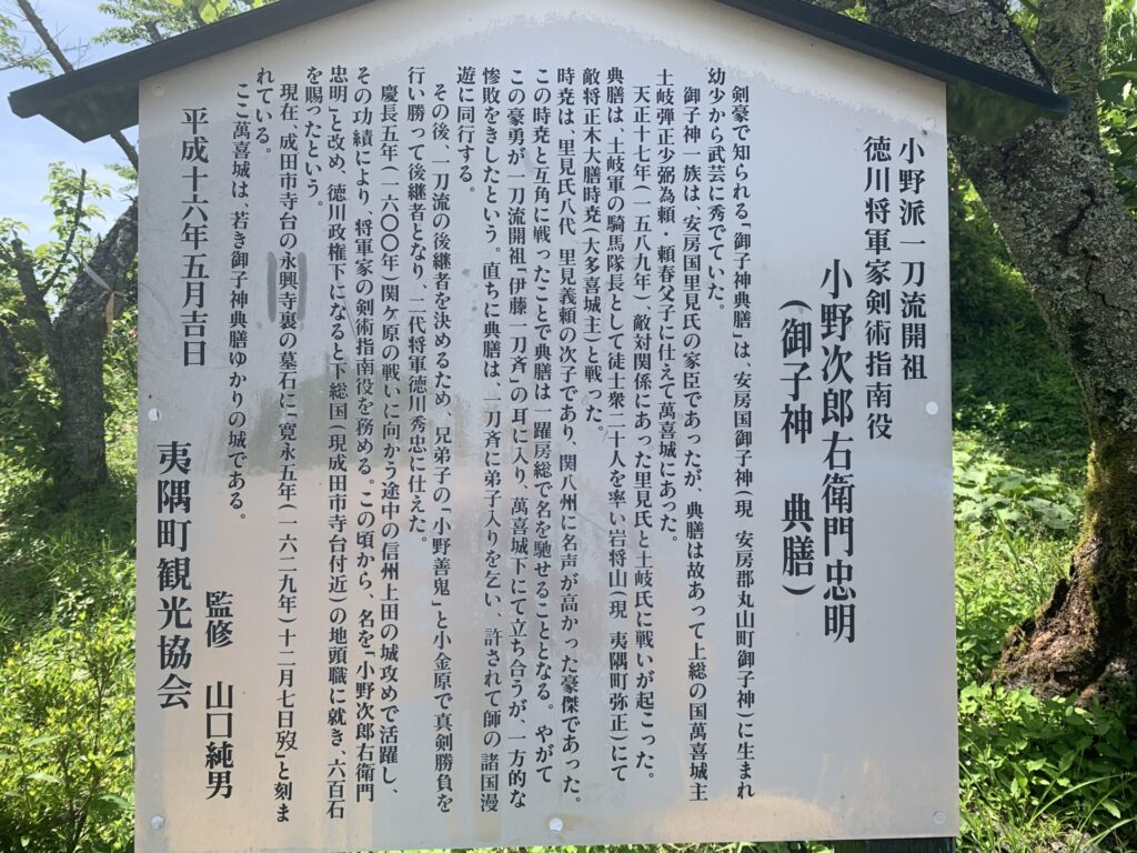
Right after descending, I came across an information board like this.
Surprisingly, it turns out this castle is connected to the founder of the Ono-ha Ittō-ryū(小野派一刀流).
Well… if you’re not familiar with that kind of history, you might just be thinking, “What does that even mean?” 😅
This is how the information board is positioned in relation to the reconstructed keep.
Compared to the elevated area we saw earlier,
this section is wider and sits one level lower.
So, it’s likely that the elevated area is the Honmaru (本丸:main enclosure),
and this area here could be the Ninomaru (二の丸:second enclosure)…I guess.🤔
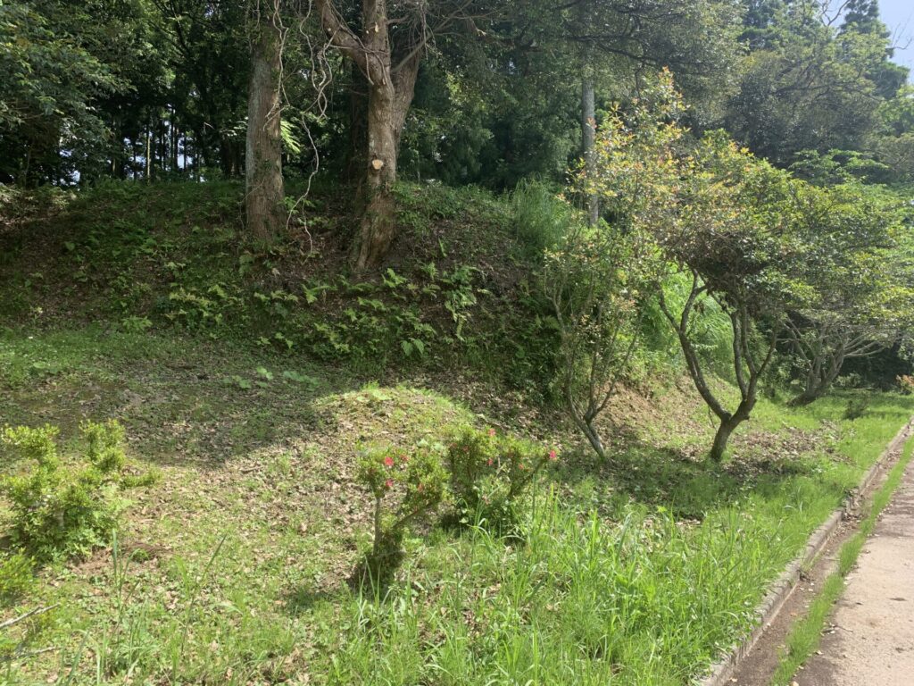
As you walk toward the edge of the grounds,
you can spot a small mound that appears to be a remnant of an Dorui (土塁:earthen rampart).
Now, please take a look at the video showing a full view of this area.
Somehow, it looks as though the area is surrounded by Dorui (土塁:earthen rampart).
Beyond that, however, nothing particularly clear could be determined.
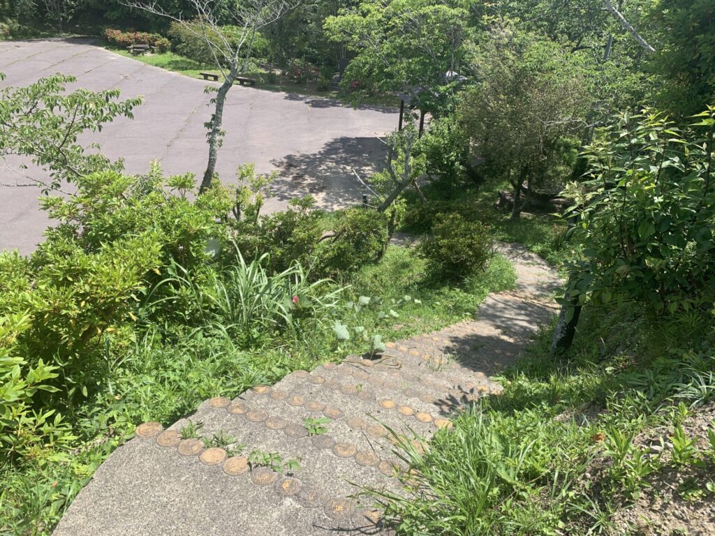
From this area—likely the second enclosure—we head further down the slope.
Sure enough, you can spot what appears to be another earthen rampart.
In the end…
aside from those features, I couldn’t find any particularly notable remains or defensive structures.
A short distance away from the elevated area (the main enclosure, perhaps),
there was something like this…
It may simply be due to my lack of research,
but this castle site still holds many unanswered questions.
Reflecting on my own need to study more,
I’ll wrap up this castle exploration for today.
See you next time!!
👇Here’s my article on Ōtaki-jo in the same Kazusa region👇